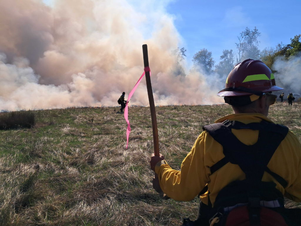
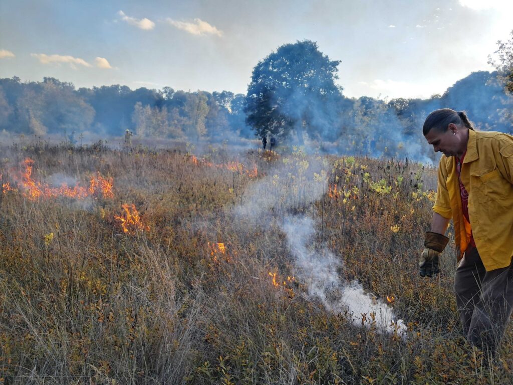
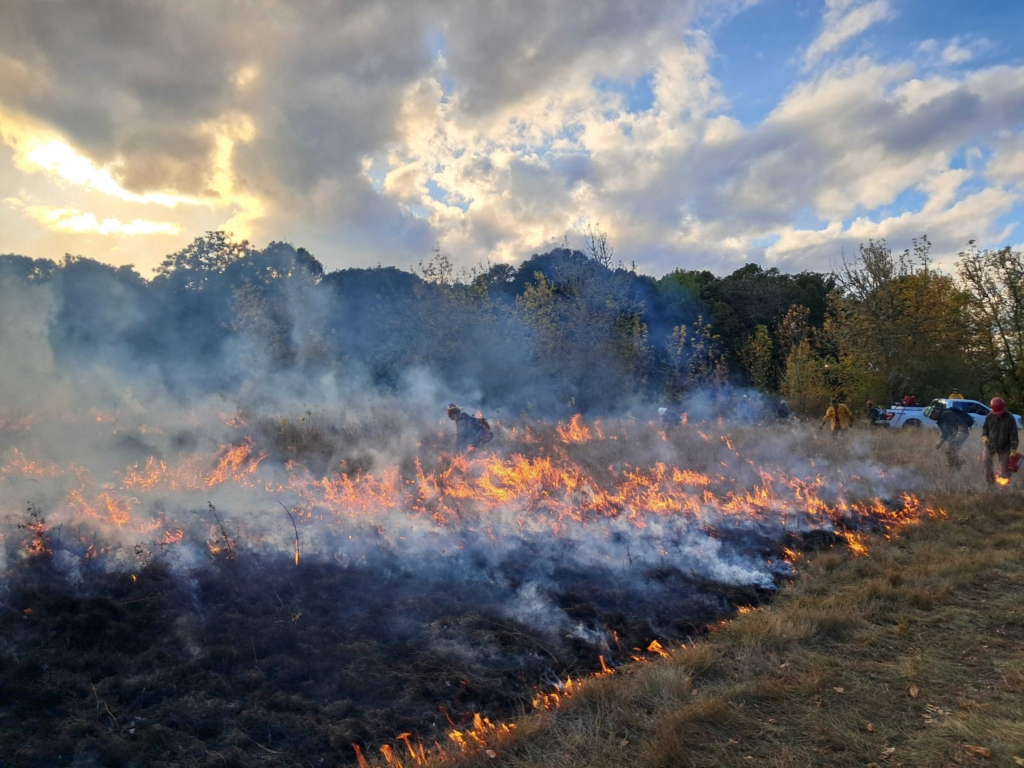
Each fall, a short window of opportunity opens to care for special lands in the Willamette Valley. As summer heat eases and fall rains return, land managers watch the weather closely, hoping for the right conditions to safely return fire to local prairies, wetlands, and oak habitats.
Following early September rains, McKenzie River Trust staff are once again working alongside local partners to conduct prescribed burns across the Eugene-Springfield area. Through thoughtful partnership, our stewardship team will support several burns on both lands cared for by McKenzie River Trust and properties managed by our partners.
This collaborative approach allows trained crews, equipment, knowledge, and capacity to move across property lines. By working together, partners are building regional capacity to bring back good fire, one burn at a time.

Returning fire to Coyote Spencer Wetlands
One of many planned burns this fall will take place at Coyote Spencer Wetlands, a 225-acre conservation area owned and cared for by McKenzie River Trust in partnership with the Long Tom Watershed Council.
If we’re able to get fire on the ground, this will be the second ecological burn reintroduced to this special area, which supports an abundance of native plants and animals.
Alongside fire, this area is managed through mowing, invasive plant removal, native planting, and other stewardship practices to maintain the site’s wetland prairie habitats.
Expanding our Reach
If safe conditions for implementing fire persist through early fall, McKenzie River Trust is excited to pursue a burn at the Marvin and Marie Spores Conservation Area.
Following several seasons of site prep and baseline monitoring, this incredible wetland area is ready for the return of fire, an action that would significantly benefit native wildflower prairies found across the site. If conditions allow the burn to proceed, it would mark the first use of ecological fire at the property since McKenzie River Trust purchased it in 2020.
Whether or not fire is returned to this area this season will depend on something that guides every burn decision: conditions have to be right.
What makes a prescribed burn safe?
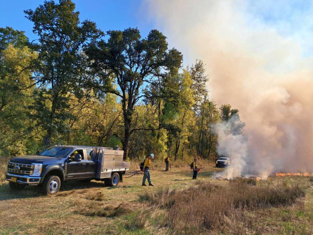
Unlike a wildfire, an ecological burn is carefully planned long before a flame touches the ground.
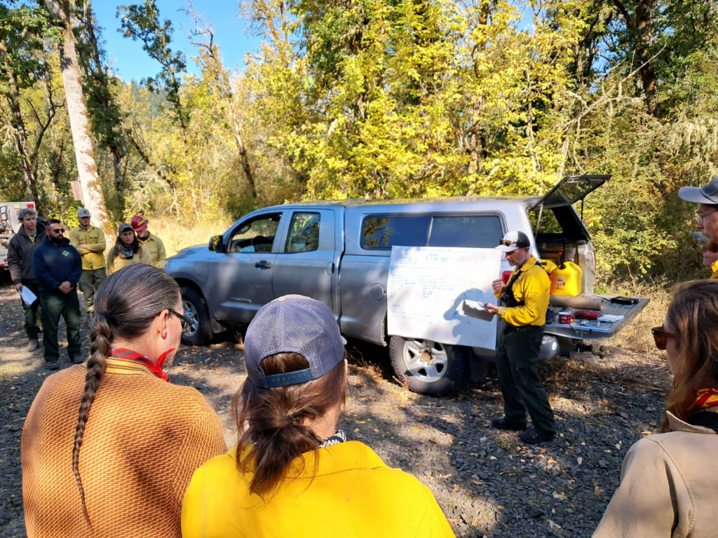
Each site has its own externally approved burn plan, and trained professionals closely monitor conditions leading up to and during any activity. That includes temperature, humidity, wind speed and direction, moisture levels, vegetation conditions, and the amount of smoke expected.
A burn only moves forward when those factors fall within an established range. If conditions change or do not meet the requirements of the burn plan, the burn is postponed or canceled altogether.

Crews also prepare the site ahead of time, establishing control lines, positioning people and equipment where they are needed, and coordinating closely throughout the burn itself. The goal is a fire that stays within the planned area and moves across the landscape at the intended pace and intensity.
Smoke is also an important part of the planning process. McKenzie River Trust and our partners coordinate with the Lane Regional Air Protection Agency (LRAPA) and the Oregon Department of Forestry to consider air quality, smoke management, weather, and other burning taking place across the region. This coordination helps land managers look beyond the boundaries of an individual property and consider conditions across the broader community and airshed.


Why bring fire back?
Fire has shaped Willamette Valley landscapes since time immemorial.
Before Euro-American settlement, the valley contained more than 1.5 million acres of prairie and oak savanna. Kalapuya people actively tended these landscapes through cultural practices that included regular burning. These low-intensity fires helped maintain open prairie and oak habitats and supported the plants, wildlife, foods, and other resources connected to them.
Over time, western settlement, conversion of land for forestry, agriculture, and development, and widespread fire suppression policies dramatically changed the valley. Today, only a fraction of historic prairie, savanna, and oak woodland habitats remain.
Carefully managed fire can reduce dense shrubs and accumulated thatch, limit encroaching vegetation, and create conditions that help native prairie and oak species persist.
It can also help reduce accumulated fuels that can contribute to more intense wildfire behavior.
More good work through partnership
Returning good fire to the landscape takes more than a single organization or a single burn.
It requires trained people, specialized equipment, careful planning, regulatory coordination, and strong relationships among land managers, agencies, and neighboring communities. Through coordinated partnerships, collaboration, and planning, local fire professionals can help those resources go further and support one another in carrying out this important work across a connected landscape.
That means you may find McKenzie River Trust staff working on a partner’s property one day and partner crews helping care for Trust-owned lands another.
As our region works to increase the use of prescribed fire, that collaboration is becoming increasingly important. Each successful burn builds experience, strengthens relationships, and expands our collective ability to safely care for the lands around our communities.
This fall, that work continues one carefully planned burn at a time.

Bringing back good fire, together
This fall, McKenzie River Trust and local partners are working together to safely return prescribed fire to conservation lands across the Eugene-Springfield area. Careful planning, weather monitoring, and regional coordination help make each burn possible.

The River Returns to haich ikt’at’uu
After 15 years of planning and development, a major conservation project near the town of Florence has achieved its goal: connecting a large swath of restored farmland to the Oregon Coast. The Siuslaw Estuary is a 217-acre expanse that’s expected to accommodate the return of salmon, lamprey, shorebirds, and native plants as it transforms with the tides.

A Place of Constant Change: Explore the Story of the Siuslaw River Estuary
Our new StoryMap, A Place of Constant Change, invites you to immerse yourself in this incredible landscape. Through stories, research, videos, and on-the-ground examples, this interactive experience traces the Siuslaw’s geologic history, the many people who have cared for this place across time, the changes that have shaped it, and the collaborative restoration efforts now underway.